Tales from Temagami - Land of Deep Water
How map of Family Hunting Territories of Timagami Band was drawn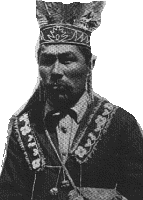
The map of Traditional Family Hunting Territories which F. Speck published , was drawn to him by Aleck Paul, who was Second Chief at that time, in 1913, right on the steps of Hudson Bay Company Trading post on Makominising island, known as Bear island but the correct translation is Berry island, not Bear. Aleck Paul was the only one who could speak English pretty good in 1913. That's where Speck's map comes from.
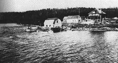 Hudson Bay Post on Bear island, 1919 |

