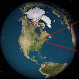
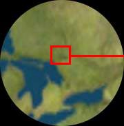
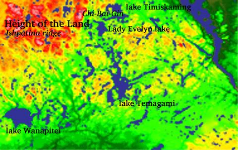
lake Temagami (Te-mee-Ay-Gaming = Deep Water )

location: north-eastern Ontario, Canada
length: 45 km north-south
depth: up to 750 feet
  • Crossing 47° northern latitude and 80" west latitude
  • about
  • 100 km to north-east from Georgian Bay of Great Lake Huron
  • 320 km due east from Great Lake Superior
  • 450 km due south from Hudson Bay of Arctic ocean
  • 500 km due north from Toronto (5-6 hours drive)
  • home to stands of old-growth red and white pine, cedar, spruce
  • Over 1250 islands

Earth, North AmericaTurtle Island, Great LakesCanada,North Bay

Huron lake, Ontario, Canada

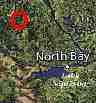
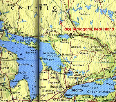
Temagami First Nation (TFN) whose people are Ojibwa and Algonquin , known as Deep-Water People (Timagami band) live on 3 sq miles of Federal Indian Reserve #1, located on Bear (Makominising) island in the heart of lake Temagami


Traditional Families' Hunting Grounds ( Tribal Family Territories) historically occupy about 4000 sq. miles,
including
  • Ishpatina Ridge - 'Height of the Land':
    highest elevation in Ontario,over 600m above sea level, the watershed between Arctic and Atlantic oceans.
  • Chi-Bai-Gin -'where-spirits-go',
    which is the sacred burial place on a mountain known as Maple Mountain
  • town of Temagami


Land of Deep Water Lake: Temagami (Tee-mee-aygaming)

Temagami area from space
view from space: red colors represents higher elevations. courtesy of NASA.

Lake Temagami from High Rock island
lake Temagami from sacred Kaw-ishpa-kawg-High Rock island
, traditionally used for vision quests.

Looking east at Temagami lake
Lake Temagami, looking east towards Bear island from western shore


Mouth of Red Squirrel river
Kaw-wawm-inashing-'a place where wind is' aka Ferguson Bay


Temagami lake from Bear island
lake Temagami - looking west
from Bear island


Earth image produced by sofware written by Hari Nair (hari@alumni.caltech.edu)

EmailNeodim 
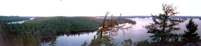
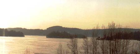
Neodim Kollobok. Temagami, 2002-2006.
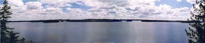
 E-mail address